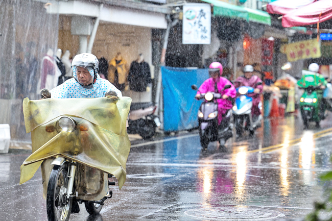
AFP – Five-metre waves pounded Taiwan’s shores yesterday as Super Typhoon Kong-rey drew near, with forecasters expecting the storm to strengthen.
Kong-rey’s winds were already sustaining maximum speeds of 240 kilometres per hour (kph) as it approached Taiwan, officials said in its latest update.
But that was expected to accelerate to 250kph before the storm makes landfall today.
More than a metre of rain could fall in the hardest-hit areas by tomorrow, prompting warnings of landslides and evacuations in vulnerable areas. Kong-rey was currently more powerful than the deadly Typhoon Gaemi, which was the strongest typhoon to hit Taiwan in eight years when it made landfall in July.
“If (Kong-rey) keeps the current wind speed, it will be the biggest typhoon in eight years,” Chang Chun-yao from a weather forecaster told AFP.
Classes and work were suspended, where the typhoon looks set to make a direct hit, while dozens of ferry services and domestic flights were cancelled yesterday. Residents stocked up on fresh vegetables, while fishers wearing slickers against the rain tethered their boats in the harbour in the southeast.
“Of course I’m worried. All my assets are here,” a fisherman, who gave his name as Captain Chen, told AFP. Kong-rey was expected to dump the heaviest rain on eastern and northern coastal areas, and over the mountains in the central and southern regions, the weather forecaster said.
“Based on the projected path of the typhoon, we advise Yilan, Hualien and Taitung to take precautions against potential landslides and debris flows in areas expected to receive heavy rainfall,” Chang said.
Authorities began evacuating residents from their homes in the southern seaport city of Kaohsiung yesterday, as well as in Yilan, Hualien and Taitung, according to officials yesterday.


