
TOKYO (ANN/THE YOMIURI SHIMBUN) – The application of drones and smartphones has been authorised for assessing the aftermath of house inundations caused by overflowing rain water exceeding drainage capacities.
Since May 31, Japan’s municipalities have been permitted to utilise these digital tools following the Cabinet Office’s revision of operational guidelines. This initiative aims to streamline the issuance of disaster certificates, facilitating quicker recovery for affected individuals.
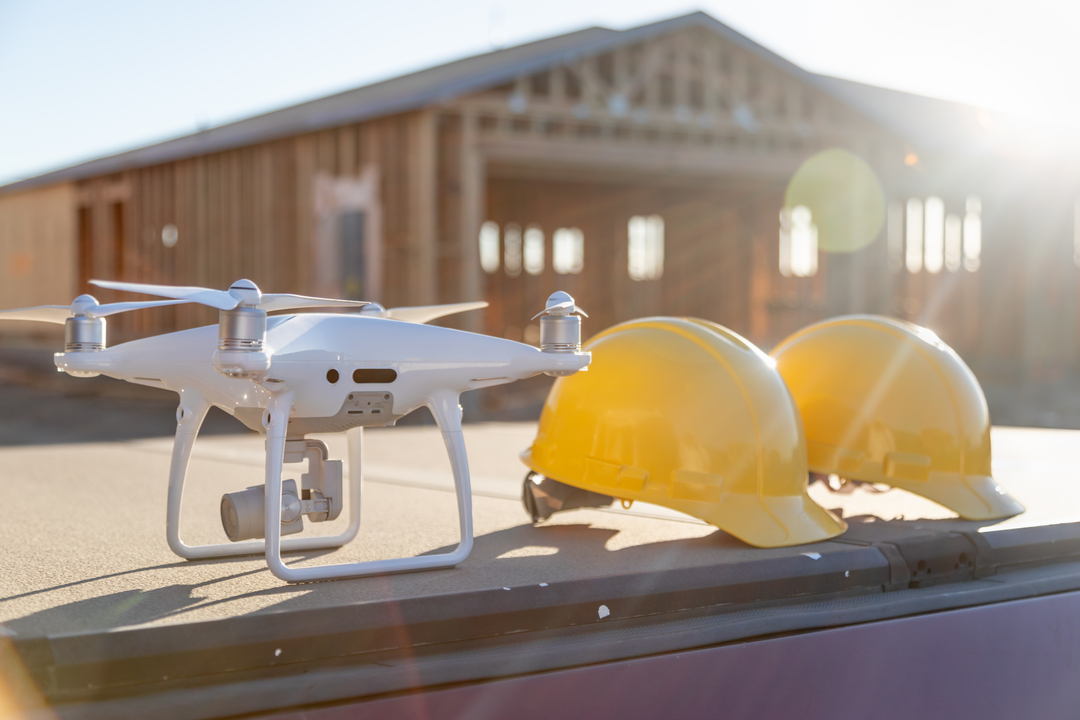
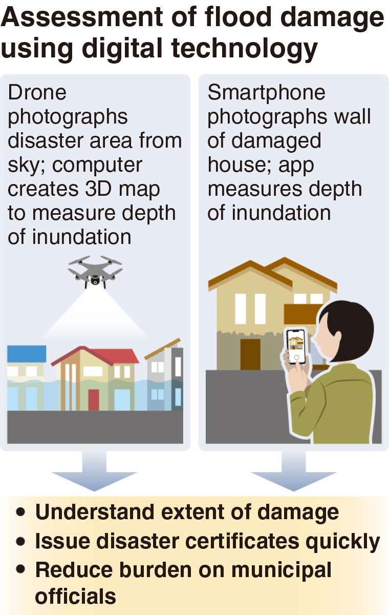
Equipped with cameras, drones capture aerial views of disaster zones, enabling the creation of 3D maps of terrain and buildings via computer analysis. Meanwhile, a smartphone app analyses photos to gauge flooding depth and assess structural damage to walls.
Previously, municipal officials conducted on-site inspections to determine damage, a process often delayed due to manpower shortages. This backlog led to extended delays in issuing vital disaster certificates required for public assistance. The integration of drones and smartphones is anticipated to alleviate these challenges.
Successful trials conducted between October and February in flood-affected Ibaraki and Akita prefectures demonstrated the technology’s accuracy in calculating inundation depths, closely aligning with actual measurements. Encouraged by these results, the Cabinet Office has endorsed its widespread adoption and plans to provide training to municipalities.
This advancement promises to revolutionise disaster response, offering quicker and more precise damage assessments crucial for efficient recovery operations nationwide.


