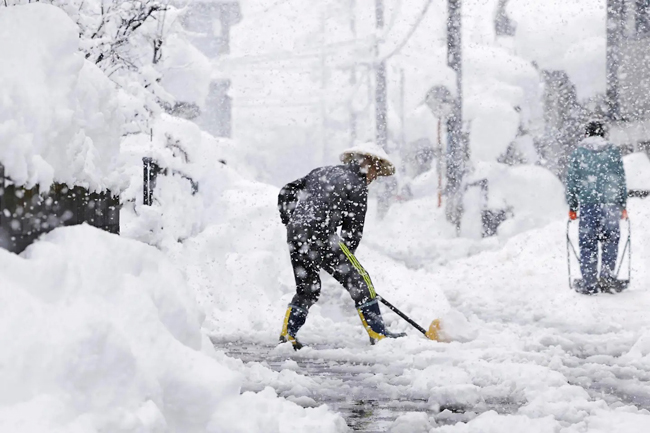
TOKYO (XINHUA) – A strong winter pressure pattern and the season’s most intense cold air mass are set to bring heavy snow and strong winds to areas along the Sea of Japan starting today, according to the Japan Meteorological Agency (JMA).
In the 24 hours leading up to today, heavy snow is expected, with up to 50 centimetres (cm) in Hokkaido, 40cm in Hokuriku, 30cm in Tohoku, 25cm in Gifu Prefecture, 20cm in Kinki, Chugoku, and Niigata Prefecture, and 10cm in northern Kyushu.
By tomorrow morning, snowfall will further increase, reaching 70cm in Tohoku, Hokuriku, Niigata, and Gifu, 50cm in Hokkaido, Kinki, and Chugoku, 20cm in Shikoku and northern Kyushu, and 15cm in southern Kyushu.
Strong winds will also accompany the snowfall, with maximum wind speeds reaching 23 metres per second (mps) in Hokkaido and 20mps in Tohoku, with gusts of up to 35 and 30 mps. High waves and rough seas are expected, with some areas experiencing stormy conditions.
The JMA warns of potentially disruptive snowfall and blizzards, urging residents to prepare by checking fuel supplies, emergency provisions, and travel plans.


