Study finds that warming oceans are fuelling destructive hurricanes sooner
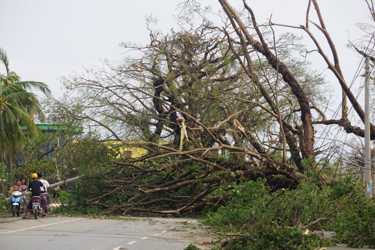
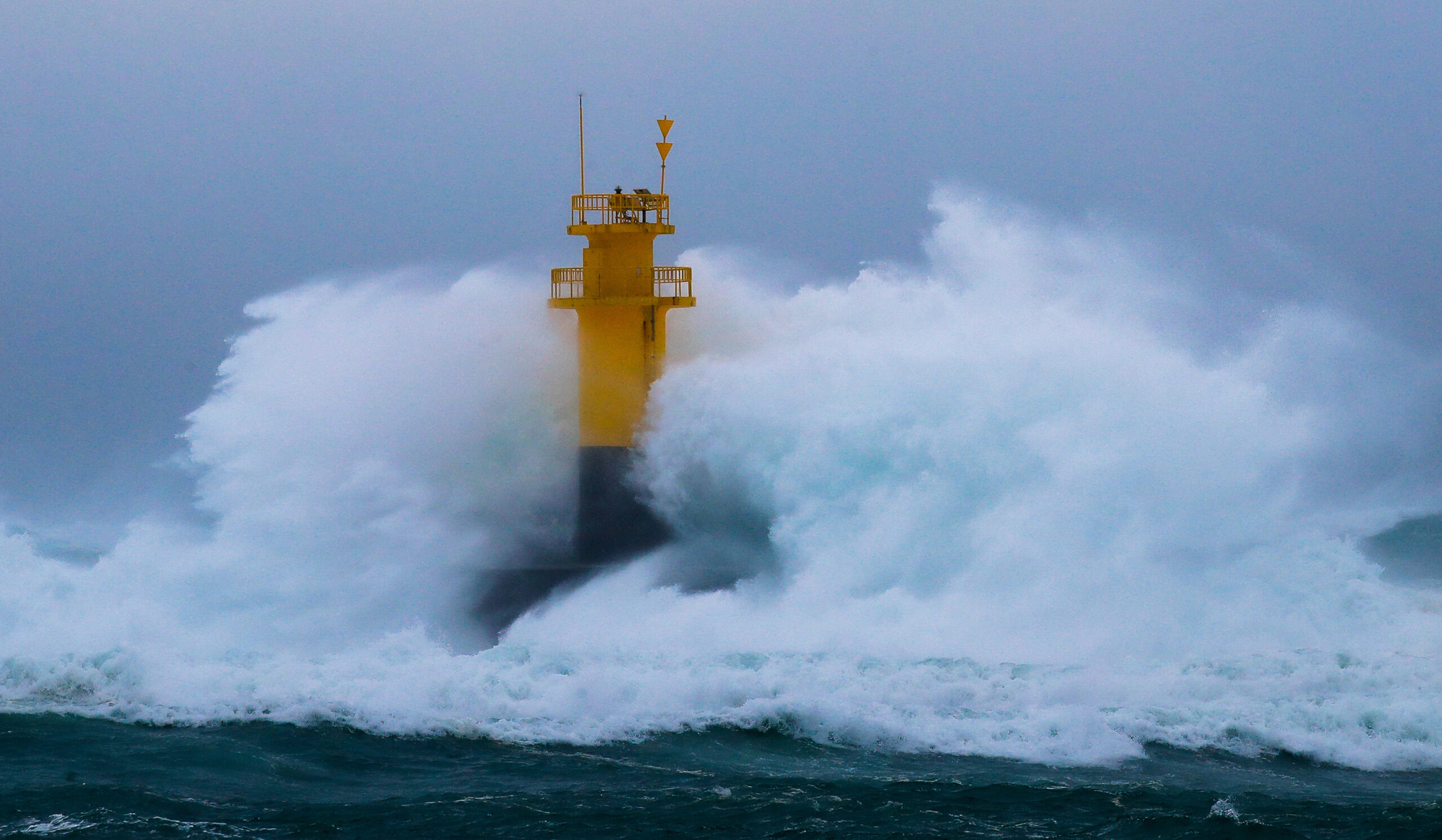
THE WASHINGTON POST – Major hurricanes – which cause devastating damage on the planet’s coastlines and often well inland – are forming “significantly” earlier in the year than they did generations ago, according to a study published in the journal Nature.
Warming ocean waters, boosted by human-caused climate change, are thought to be a primary driver of the trend, which has both forecasting and societal implications.
The study defined “intense tropical cyclones” as hurricane, typhoons and other tropical systems having maximum sustained winds over 127 miles per hour (mph) – essentially a high-end Category 3 hurricane or worse.
The authors, made up of a group of researchers from China and the United States, found that the formation dates of intense tropical cyclones are shifting 3.7 days earlier per decade in the northern hemisphere, and 3.2 days per decade earlier in the southern hemisphere.
In other words, since 1981, which the study’s analysis began, the incidence of intense hurricanes has lurched forward some 15.5 days north of the equator. In the southern hemisphere, the shift is just under two weeks.

Intense tropical cyclones are disproportionately responsible for the overwhelming majority of economic and human losses associated with tropical systems.
The increasing tendency of intense tropical cyclones earlier in the season is of particular concern because it predisposes them to have a greater risk of causing serious flooding, the study authors assert.
Extreme rainfall events are most common in the summertime, when the air is warmest and can hold the most moisture. Intense tropical cyclones, historically, were more common in the autumn, when oceans are the warmest. The inching of peak intense tropical cyclone activity into the summertime means a greater overlap between peak extreme rainfall season and intense tropical cyclones, suggesting that flood disasters may be made more common.
WHAT THE RESEARCHERS DID
Researchers reviewed all global tropical cyclones between 1981 and 2017, during which satellite data was readily available. They drew upon a publicly available data set that estimates tropical cyclone strength using satellite techniques. Then they determined what date each storm achieved its “lifetime maximum intensity”.
The researchers found the greatest tendency for earlier-forming intense tropical cyclones was in the Northwest Pacific east of the Philippines and Japan, the western South Pacific east of Australia and in the Gulf of Mexico. Parts of the Southern Indian Ocean and northeast Pacific south of the Baja Peninsula are also seeing an uptick in early-season intense tropical cyclone activity.

Curiously, despite robust trends in shifts for intense tropical cyclones, the researchers found little change in the timing when they analyzed tropical cyclones of all strengths. That suggests that intense tropical cyclones are more sensitive to increases in sea surface temperature, which are expected to continue because of human-caused climate change.
Previous studies have also demonstrated that most intense tropical cyclones (Category 3 and higher) have exhibited increases in strength in a warming world.
“It is likely that the global proportion of major (Category 3-5) tropical cyclone occurrence has increased over the last four decades,” the Intergovernmental Panel on Climate Change concluded in its most recent assessment.
The Nature study team also found that storm rapid intensification events are trending earlier in the season too – about 3.6 days per decade in the northern hemisphere, and 4.1 days per decade in the southern hemisphere.
Rapid intensification describes the process by which a storm strengthens by at least 35mph or more in 24 hours. The vast majority of intense tropical cyclones rapidly intensify at least once in their lifetime; few storms reach major hurricane status without rapidly intensifying at some point.

Just two weeks ago, Hurricane Lee intensified by 80mph in 24 hours from a low-end Category 1 to a solid Category 5 – the third most quickly-intensifying hurricane on record in the Atlantic. The other seven Category 5 Atlantic hurricanes that have formed since 2016 all underwent rapid intensification.
Storms that undergo rapid intensification are the most difficult to predict and often cause greater destruction, posing challenges for emergency planning and response.
The study joins a growing literature showing changes in tropical cyclones in a warming world. Not only are they forming earlier and rapidly intensifying more frequently, but studies have shown they are also reaching their peak intensity farther north than they used to, producing heavier rain, slowing down and staying stronger over land.


