


Azlan Othman
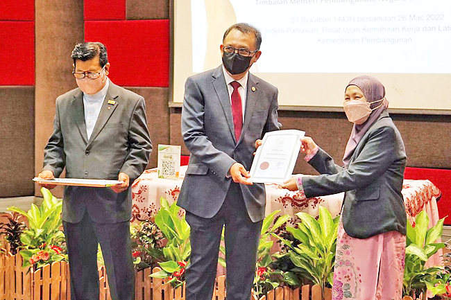
Government agencies, especially departments under the Ministry of Development (MoD) should adopt a culture of data-sharing of geospatial information to improve public services, said Deputy Minister of Development Dato Seri Paduka Ar Haji Marzuke bin Haji Mohsin at the Continuous Professional Development Seminar yesterday, held in conjunction with Global Surveyors’ Day 2022.
The deputy minister said up-to-date geospatial data is needed in planning and to further accelerate decision making in all land development and construction projects.
“On this occasion, I also recommend that government agencies, especially departments under the MoD adopt a culture of data sharing or sharing of geospatial information so that the provision of services to the public is more up-to-date and detailed.
“With the rapid development of information communication technology at present, the way and culture we work has been greatly influenced by the latest technology through various platforms,” said the deputy minister.
He said the MoD through the Survey Department recently started the ‘Aerial Photography, Airborne LiDAR Acquisition and Geospatial Mapping of Brunei Darussalam’ project aiming to update the existing geospatial data.
Dato Seri Paduka Ar Haji Marzuke said the influence and culture as well as the quality of work must change to be in line with current priorities to improve services.
He said the Survey Department has work instructions drafted by its officers and licensed land surveyors which must be followed for each survey work to ensure consistency and accuracy.
He said it is hoped that these improvement efforts will be successful in overcoming the weaknesses that have been identified and will further improve the department’s level of service of to the public.
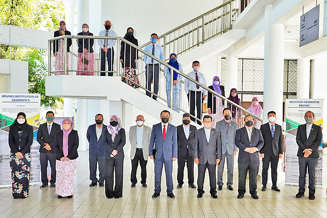
The Continuous Professional Development was jointly organised by Survey Department and Brunei Institution of Geomatics (BIG). This seminar featured three technical papers – The first paper was presented by a Senior Surveyor in Cadastral Survey Division and BIG Professional Member Haji Muhammad Hifney bin Haji Abdul Rahman.
He presented on ‘Potential of Using Satellite Altimetry for Sea Level Study in Brunei Darussalam’.
The paper was also presented during the FIG Working Week in Hanoi, Vietnam and the 15th Southeast Asia Survey Congress (SEASC) in Darwin, Australia in 2019 and won the Best Abstract Award during the 15th SEASC from the Surveying and Spatial Sciences Institute, Remote Sensing and Photogrammetry Commission.
The second presenter was by a Surveyor from the Geodetic Division of the Survey Department and BIG applicant Muhammad Abdul Hadi bin Haseri. His paper was on the ‘Assessment of Local Geoid in Brunei Darussalam’ focussing on analysing orthometric height difference between Mean Sea Level and GNSS (Global Navigation Satellite System).
The third presenter was from Brunei Shell Petroleum Company Sdn Bhd Head of Geomatic and Metocean and BIG applicant Mark Beloeil-Smith. His presentation ‘Where Am I?’ discussed basic knowledge and understanding on how a position is made, confirmed and validated – a fundamental knowledge to all geomaticians or surveyors.
The seminar also saw the diploma presentation by the guest of honour to newly promoted members and new members joining BIG as professional and graduate members.