

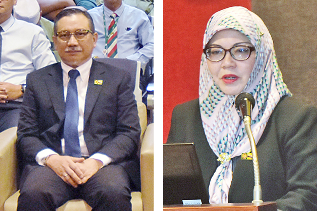
The Sultanate will have its own national astronomy observation station within five years that will complement institutions for educational purposes, Acting Surveyor General Dayangku Siti Saihalina binti Pengiran Haji Ibrahim said.
She outlined the Survey Department’s achievements and future plans at the opening ceremony of the Geographic Information System (GIS) Day celebration yesterday.
Meanwhile, Permanent Secretary (Planning, Land Use and Environment) at the Ministry of Development (MoD) Dr Nor Imtihan binti Haji Abdul Razak called for the Survey Department to continue its progress and explore technological potential to address the challenges faced by the department and provide more efficient and systematic geospatial information and services.
Some 166 participants from all agencies attended the briefing organised by the Survey Department held at the Indera Pahlawan Hall, MoD’s Training Centre. This year’s GIS Day theme is ‘Celebrating the GIS Professional’.
Minister of Development Dato Seri Setia Awang Haji Muhammad Juanda bin Haji Abdul Rashid was the guest of honour.
The event also saw briefing sessions on available services at the Survey Department. Acting Assistant Surveyor General and Head of Geospatial Technology Hajah Nurani binti Haji Ahmad delivered the briefing on the Survey Department’s Online applications, while Geospatial Technology Division Acting Surveyor Sambri bin Haji Daud delivered a briefing on the Geoportal Ukur application.
Astronomy Unit Surveyor Haji Khairul Abidin bin Haji Sulaiman spoke on Qiblat Direction application while Geospatial Mapping Services Unit Surveyor Sariawati binti Alwi presented on Address application and Claim on Damages of Government Assets.
The use of handheld GPS was explained by Geodetic Unit Surveyor Muhammad Abdul Hadi bin Haseri and Application for Survey Works session was delivered by Land Surveying Unit Surveyor Pengiran Mohd Norhashimi bin Pengiran Haji Bungsu.
The GIS Day 2023 celebration will continue during Bandarku Ceria on Sunday. Various activities and exhibitions will be showcased at Taman Mahkota Jubli Emas. – James Kon

