
James Kon
The Survey Department at the Ministry of Development has assured the public that every safety measure has been taken to ensure the safety and well-being of the public when deploying acquisition work for the Aerial Photography, Airborne LiDAR Acquisition and Geospatial Mapping of Brunei Darussalam project.
The agency has been carrying out the aerial acquisition work since April 2.
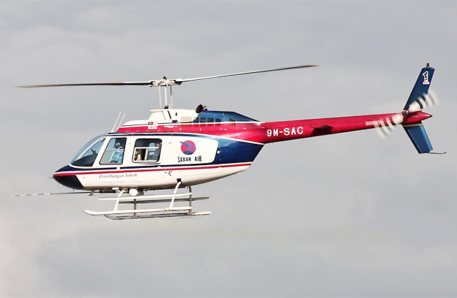
The aircraft used for the project is the Bell 206 B-3 Jet Ranger helicopter, registered in Sabah, Malaysia. The chopper is scheduled to fly across the country to acquire the latest geospatial information.
According to the Survey Department, the aerial acquisition project is one of the approved projects under the 11th National Development Plan (RKN-11).
The contractor awarded to execute this project is Syarikat Juruukur Fadly and is expected to be completed within 18 months.
The outcome of the project includes producing aerial images and light detection and ranging (LiDAR) data of the whole of Brunei. The images and data produced will be used to update the map and geospatial information of the country as well for the use of Government and private agencies in national development planning as well as disaster management.