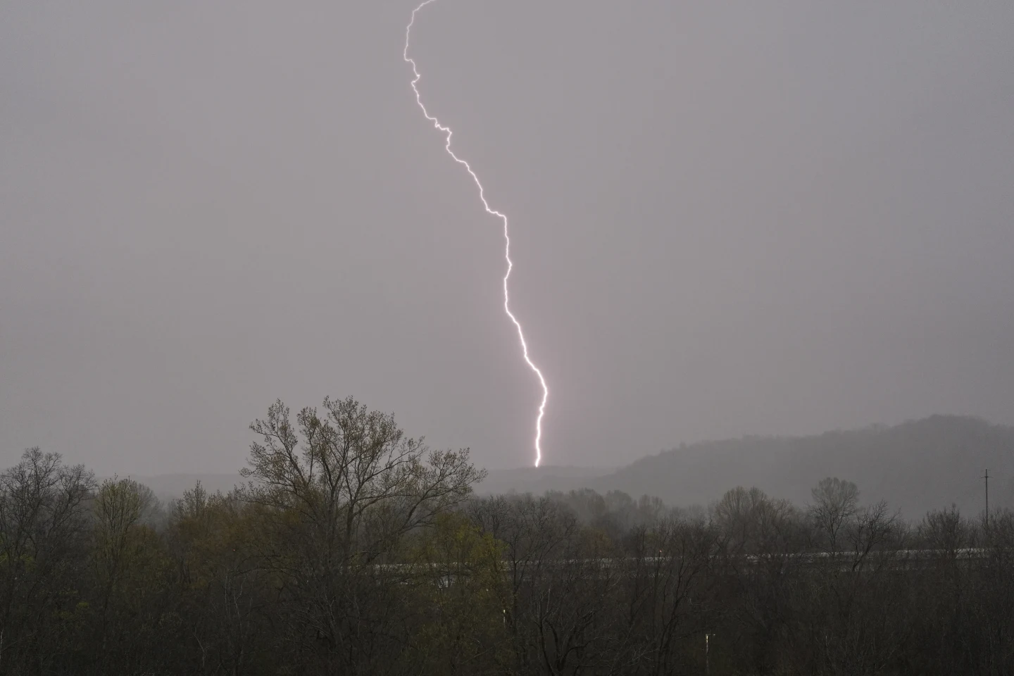
AP – Tornadoes and violent storms struck parts of the South and Midwest on Wednesday, knocking down power lines and trees, ripping roofs off homes and shooting debris thousands of feet into the air as a swath of severe weather hit the region.
A tornado emergency was briefly issued in northeast Arkansas, with the National Weather Service’s office in Memphis, Tennessee, telling residents on the social platform X: “This is a life threatening situation. Seek shelter now.” The emergency was lifted, though area residents remained under a tornado warning.
The South and Midwest also braced for potentially deadly flash flooding over coming days as severe thunderstorms blowing eastward become supercharged, forecasters warned.
Dozens of tornado and severe thunderstorm warnings were issued in parts of Arkansas, Illinois, Missouri and Mississippi as the swath of storms hit those and other states Wednesday evening. Forecasters attributed the violent weather to daytime heating combined with an unstable atmosphere, strong wind shear and abundant moisture streaming into the nation’s midsection from the Gulf.
The potent storm system will bring “significant, life-threatening flash flooding” each day through Saturday, the National Weather Service said.
Tornadoes touch down and more could be coming
A tornado emergency was briefly declared around Blytheville, Arkansas, Wednesday evening, with debris lofted at least 25,000 feet (7.6 kilometres), according to Chelly Amin, a meteorologist with the weather service. This is the weather service’s highest alert and is rare, but it urges residents to seek immediate shelter. It was not immediately clear whether there were any injuries.
A tornado was also reported on the ground near Harrisburg, Arkansas, Wednesday evening, with the weather service telling residents on X to “be in your shelter NOW.”
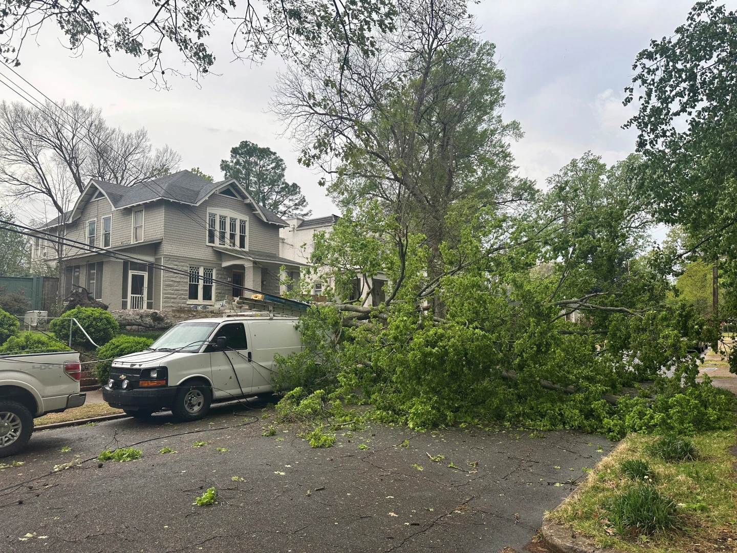
In Pilot Grove, Missouri, several structures were damaged, cars flipped over and power poles snapped by a storm, said the state emergency management agency. Minor injuries were reported, according to the Missouri State Highway Patrol. Meanwhile, roads were closed because of storm debris and downed utility lines near the town of Potosi southwest of St. Louis, according to the state transportation department.
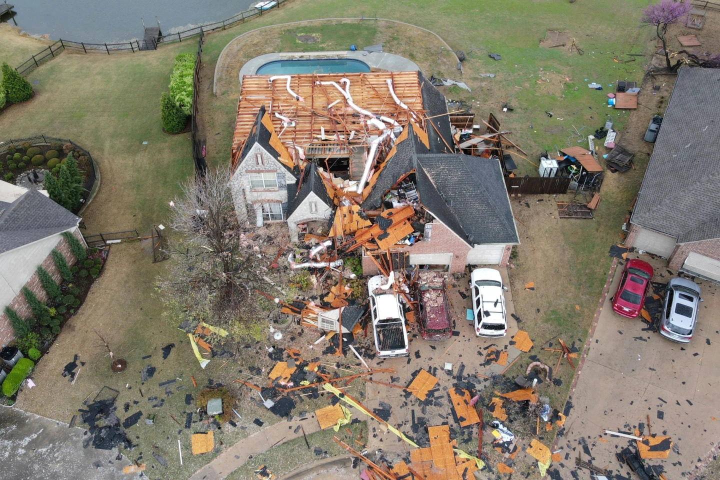
Another tornado touched down in the northeastern Oklahoma city of Owasso about 6:40 a.m. Wednesday, according to the weather service office in Tulsa. There were no immediate reports of injuries, but the twister heavily damaged the roofs of homes and knocked down power lines, trees, fences and sheds.
Strong and long-lasting tornadoes are possible in highest-risk area
About 2.5 million people are in a rarely-called “high-risk” zone. That area most at risk of catastrophic weather on Wednesday included parts of west Tennessee including Memphis; northeast Arkansas; the southeast corner of Missouri; and parts of western Kentucky and southern Illinois.
The Storm Prediction Centre said “multiple long-track EF3+ tornadoes” were likely. Tornadoes of that magnitude are among the strongest on the Enhanced Fujita scale, used to rate their intensity.
Floods could inundate towns, sweep cars away
Thunderstorms with multiple rounds of heavy rain were forecast in parts of Texas, the lower Mississippi Valley and the Ohio Valley beginning midweek and lasting through Saturday. Forecasters warned the storms could track over the same areas repeatedly, producing dangerous flash floods capable of sweeping cars away.
Middle Tennessee was looking at severe storms followed by four days of heavy rains as the weather front stalls out and sticks around through the weekend, said National Weather Service meteorologist Mark Rose.
Rose said meteorologists are most worried about the Clarksville area. That area already was saturated with 170 per cent of normal rain so far this year, he said.
Rain totaling up to 15 inches (38 centimetres) was forecast over the next seven days in northeastern Arkansas, the southeast corner of Missouri, western Kentucky and southern parts of Illinois and Indiana, the weather service warned, with some areas in Kentucky and Indiana at an especially high risk for flooding.
Wintry mix blasts Upper Midwest
In Michigan, crews worked to restore power after a weekend ice storm toppled trees and power poles. More than 128,000 customers in northern Michigan and 5,000 in northern Wisconsin were still without electricity, according to PowerOutage.us, which tracks outages nationwide.
Schools in several counties in Michigan’s the mitten-shaped Lower Peninsula were closed as deputies used chain saws to clear roads and drivers lined up at gas stations.
The Mackinac Bridge connecting Michigan’s Lower and Upper Peninsulas was shut down Wednesday because large chunks of ice were falling from cables and towers. It’s the third consecutive day of bridge interruptions from the ice storm.


